
Configuring PPI products
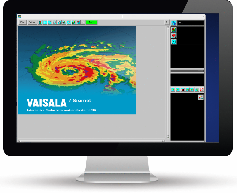
A PPI shows data from one elevation, all azimuths. You can use it at the radar site for quality control.
- On the IRIS menu, select .
- Select .
- Select the button next to TASK name, and select a task from the list.
- Select the button next to Data:Display, and select a parameter to be displayed, typically Z for reflectivity.
-
Enter Maximum Range (km) and elevation angle which suit the task
you have selected.
You can see task information in upper part of the menu.
- Select and give a name for the PPI file.